How to measure the height of a wave from a photo
Measuring the height of a wave is not an easy task and depends on several important factors. But the science behind it has been able to set several records and is extremely essential.
17/Ago/2021 - DOUGLAS NEMES, PHD.
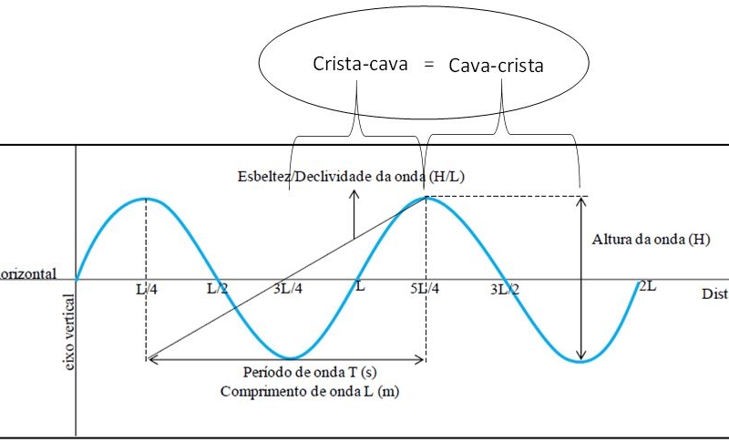
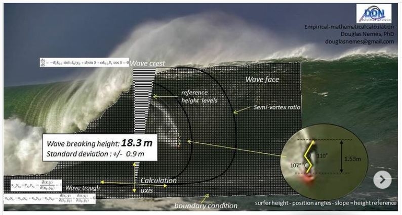
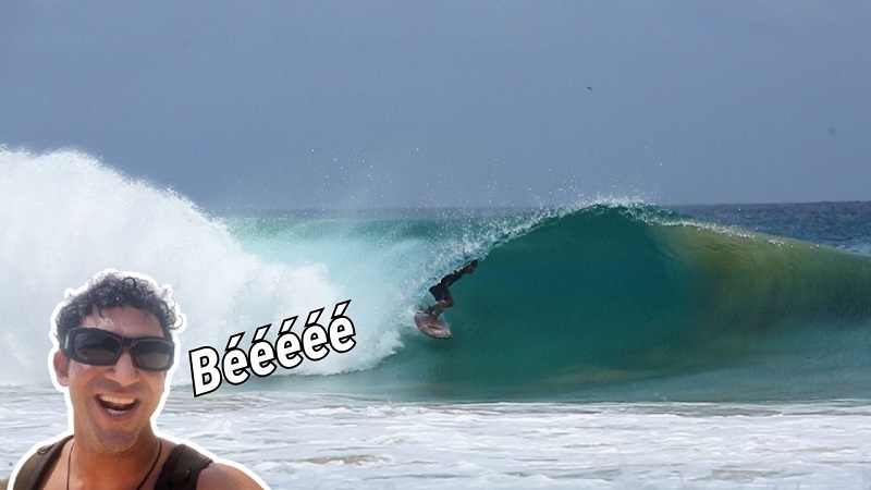
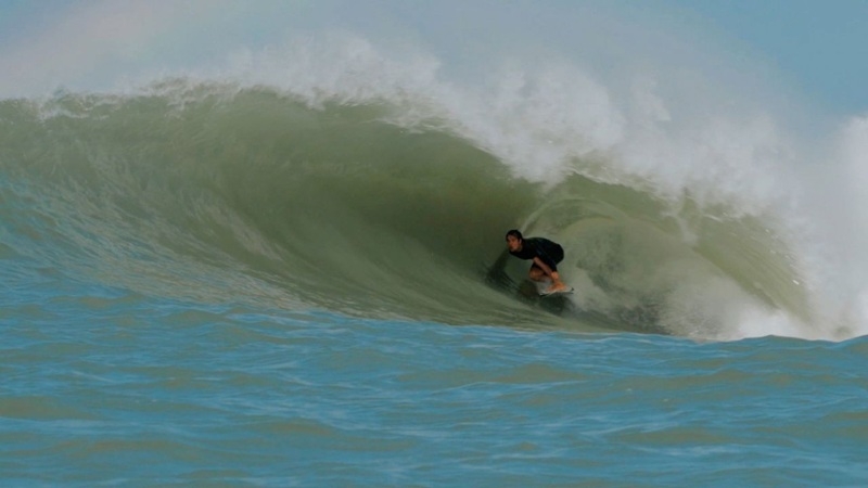
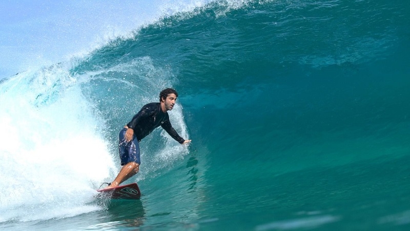
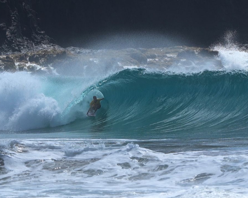
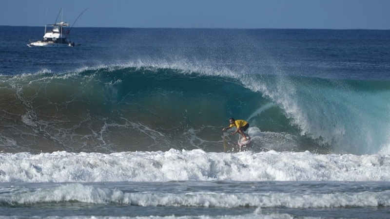
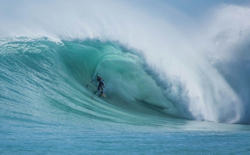
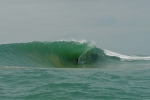
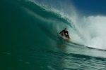
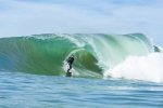
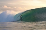
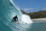
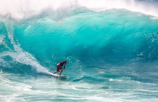
a) the photographer's positioning will vary depending on the positioning of the photographer. set the angle of the image. In this framework, it is It is necessary that the pit and crest, as well as the reference (surfer) are properly visible. Too high a positioning may leave the trough and/or the crest of the subjective wave imperceptible, which in turn reduces the precision of the technique. There is no Doubts that the most difficult thing is know where it is the crest and trough of the wave in an image (photo) obtained without photography technique;

-----
What if you If you want to delve a little deeper into wave forecasting, we recommend the Wave Forecasting Course at Surfguru. With it you can surf. You will be able to use prediction to your advantage through basic concepts and practical tips!
The course é completely online, with approximately 4 hours of recorded classes and in it you will be able to learn more. You will learn the entire theory of wave formation: from how they form, how they move, to how they move. their arrival on the beach. He offers you everything, EVERYTHING, so that you can enjoy it. be able to correctly interpret the forecast.
Who has already studied? is PRO subscribers have an exclusive discount through our Advantages Club. If you is not yet available. PRO, try for 30 days free using the CURSO30 coupon. Let's go?
---------------------------------------------------------- ---
Douglas Nemes is He is a former competitive surfer, who had the opportunity to take all the empirical knowledge acquired in the waves of countless beaches he visited on this planet into the academy. Douglas graduated as a Physical Oceanographer at UNIVALI. He completed a Master's degree in Coastal and Ocean Systems at the Federal University of Paraná. UFPR in 2011. In 2016, he completed his PhD in Oce & acirc; nica Engineering at the Federal University of Rio de Janeiro UFRJ, COPPE Research and Engineering Institute, whose research institute & eacute; the most important in the Americas. Finally, in 2018 he completed a post-doctorate in Coastal Engineering, in a partnership between UFRJ and the Federal University of Pará. UFPA. Over almost 20 years of academic work, Dr. Nemes developed techniques to qualify wave breaking on ocean beaches, published national and international scientific works on the main meteorological phenomenaseawater developments on the southern coast of South America and the development of a multifunctional coastal protection technology capable of recovering eroded beaches, generating perfect conditions for the practice of water sports. Currently works on coordinating hydrographic surveys and data processing for coastal engineering in Brazilian ports and waterways, in order to be used by the Hydrography Center of the Brazilian Navy to update nautical charts .
---------------------------------------------------------- ---
Vídeos | Mais Vídeos
-
Festival de Surf e Ciência, cultura oceânica e limpeza de praia em Regência - ES
-
Expression Session #7: Fábio Sandes — longevidade e bem-estar no surf com o método surf resistência
-
Fernando de Noronha: swell refratário e altas ondas no Bode
-
Expression Session #6: Caio Freire fala sobre surf, Setiba, comunidade e o Shaka Surf Park
-
Temporada de surf em Noronha: as melhores ondas de 2026
-
Expression Session #5: Marcelo Trekinho e sua trajetória desde o Surf Adventures até o UARADEI
-
Swell de Norte em Noronha: Cacimba do Padre bombando com a galera do Surfguru
-
SURFISTA ÍTALO-BRASILEIRO DESTACA EVOLUÇÃO EM SESSÃO NOS SUPERTUBOS, EM PENICHE
-
VIDEO: Piscina de ondas em Búzios: conheça o projeto do Brasil Surfe Clube
-
Expression Session #4: Eduardo "Rato" Fernandes revela bastidores do Surf Adventures e da Urca do Minhoto
