Wave forecast for surfing: understand how it is done
Knowing the conditions for the next swell is essential, but how does wave forecasting work?
20/Jul/2022 - Patrick DervicheIn the 18th century, Captain James Cook, a great English explorer, made the first historical account of surfing, telling how he was mesmerized by the locals paddling their canoes and surfing the waves. Despite this record, it is not known exactly where or when surfing emerged, whether its origin is Polynesian or Peruvian, however we know that the first surfers did not have weather or wave forecasts at their disposal. They were based on their own knowledge and experience, or by the traditional check on the beach.
[TAKE THE SURFGURU WAVE FORECASTING COURSE ]
It can be said that meteorology, and thus wave forecasting, began with the first calculations in the 1920s made by Lewis Richardson, an English mathematician. Through the advancement of technology and the arrival of computers, there was a great leap in the accuracy of forecasts. Today we have global agencies with supercomputer systems and extensive data supply networks, coming from surface stations, satellites, ships, commercial flights and weather balloons.

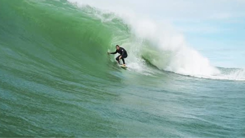
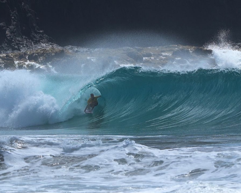
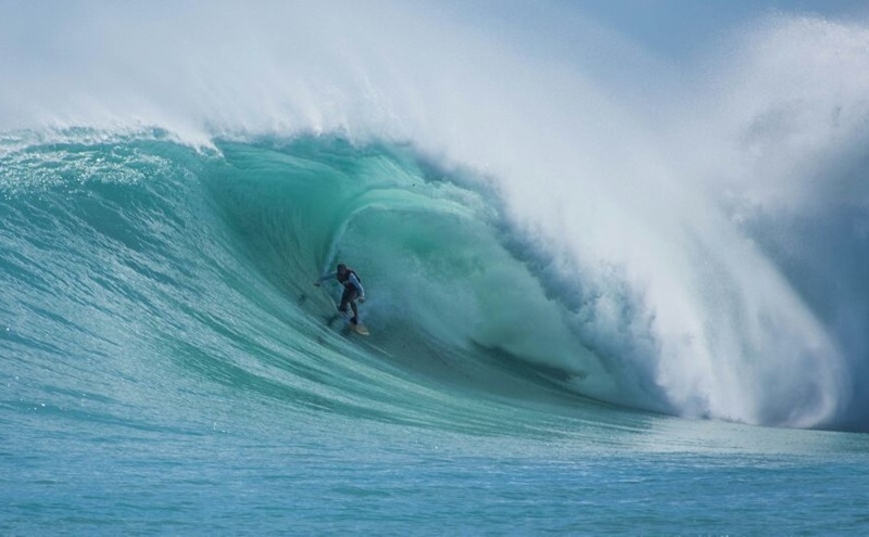
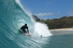
Photo by Alexandre Weiss (Source: Pexels)
The role of the wind
To get an idea of what it's like Once the wave forecast has been made, we assume that waves are generated by wind. The characteristics of waves depend on three factors: speed, duration and wind path. The logic is linear, the greater the speed, duration or track, the greater the waves.
The synergy of these factors influence the size, period and direction of the wave. The moment waves are formed in the same place, under the influence of the wind, they are called waves. When they form close to the coast, it is the storm, those large, unformed and disturbed waves, with a lot of wind.
So, when a storm occurs in the vast ocean, waves are formed and travel across the blue expanse for long distances. À As they move, the wind decreases in strength. point of cessation, and its forms and appearances are ordered and organized. From the moment they arrive at the hotel; The coast, with good formation and no wind, is called swell (or sea, in technical terms). The swell is nothing else. that waves formed outside their place of origin, well aligned and large in size.
Although it may seem simple, shore waves in shallow waters interact with the bottom and are much more complex in terms of prediction than those in the ocean. The interaction with the geometry of the bottom (bathymetry), including several factors such as refraction, diffraction and reflection, shapes the shape of the waves. Because of this, there are differences between coastal and oceanic forecast.
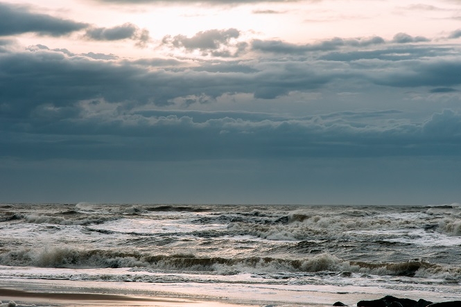
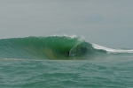
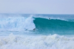
Example of a sea storm. Photo by Nicklas Toft (Source: Pexels)
Sea
All surfers are after the swell. However, for good surfing conditions, another issue we take into consideration is surfing. tide, which interestingly is also the tide. a "wave". In fact, a much slower wave, which takes hours to rise and fall. In terms of predictability, swells are more unpredictable than tidal waves.
The tide Astronomy, influenced mainly by the moon, has a very accurate prediction. Small changes occur depending on the wind that then blows. is called tide; meteorological.
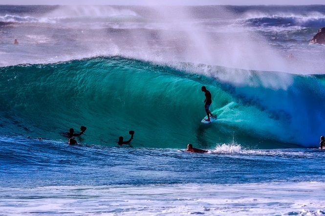
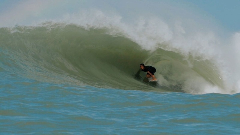
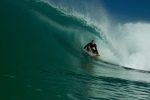
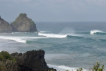
example of a rolling swell. Photo by Pixabay (Source: Pexels)
Atmospheric forecast models
Since the ocean and atmosphere are interconnected, we can see that the wind forecast is It is fundamental to predict waves with quality and precision. É there This is where atmospheric forecasting models come in.
In the 1960s, Edward Lorenz, a meteorologist at the Massachusetts Institute of Technology, was doing atmospheric forecasting models and noticed that computers gave different results for the same calculation. He then dubbed the phenomenon the butterfly effect, that “the simple flapping of a butterfly's wings in Brazil can cause a tornado in Texas”. This is because a small difference in the models can bring a very different forecast for more than a few days.
Currently, there are several atmospheric forecast models, such as the American Global Forecast System (GFS) from NOAA, the European European Center for Medium-Range Weather Forecasts em> (ECMWF), the Brazilian Brazilian Global Atmospheric Model (BAM), among several others. Surfguru uses data from the GFS atmospheric model as a data source to model waves.
Wave prediction models
Once the surface wind data is obtained from the atmospheric model, the next step is to analyze the surface wind data. shape the waves. To achieve this, Surfguru uses the most renowned ocean wave model in the world, called WaveWatch III Model,this model was Initially developed by Delft 3D, and later improved in NOAA laboratories.
A very important person for wave forecasting wasSean Collins, a surfer passionate about the ocean and meteorology, who began making comparisons between the synchronic charts and the sea. ethics and their observations on the beach. He then created Surfline, a calling service providing forecasts of wave conditions in Southern California. Surfline expanded its content and today is one of the largest surfing-related websites, mainly in the USA.
Yes, the natural world is beautiful. It is complex, and all models are subject to change. errors. There is no oracle in wave forecasting. However, recently models have become more and more accurate.
[TAKE THE SURFGURU WAVE FORECASTING COURSE ]
For tide tables, SurfGuru uses data from the Brazilian Navy and xTides.
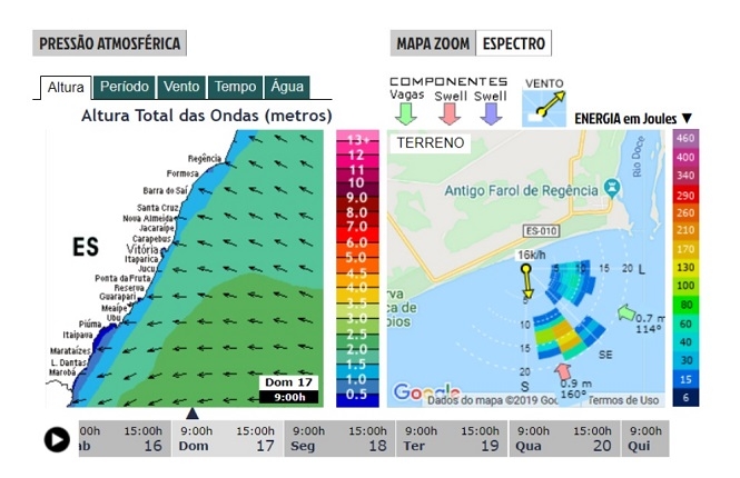
Example forecast for Regency beach - Espírito Santo, using the WaveWatch III (GFS) model used by SurfGuru. em>
Forecast tips and local knowledge
There are three simple tips for predicting waves. The first is; that the further back in time the prediction, the less reliable it is. The second is It is worth comparing forecasting models as it will bring more accurate results in their interpretation. The last one is What if the forecast says it will be flat, you can be sure it will be perfect. flat.
Finally, it is It is important to know how wave forecasting works and which models are used. Even more essential is; local knowledge, as the first surfers did, and, in addition, the interpretation of the forecast. The orientation of the beach, morphology and type of the bottom play an important role in shaping the waves. The tip is; pay attention to the forecast and keep an eye on local surf conditions. Knowing which one is the best swell direction, tide height and and wind condition at the surfing beach is important. fundamental.
And it is Of course, here at Surfguru we offer all the tools you need. You need to know when and where it will be classic for you. never miss surfing. Subscribe to PRO and get access to several advantages! p>
-----
What if you If you want to delve a little deeper into wave forecasting, we recommend the Surfguru Wave Forecasting Course. With it you can You will be able to use prediction to your advantage through basic concepts and practical tips!
The course is; completely online, with approximately 4 hours of recorded classes and in it you will be able to learn more. You will learn the entire theory of wave formation: from how they form, how they move, to how they move. their arrival at the beach. He offers you everything, REALLY EVERYTHING, so that you can enjoy it. be able to correctly interpret the forecast.
Who has already studied? is PRO subscribers have an exclusive discount through our Advantages Club. If you is not yet available. PRO, try for 30 days free using the CURSO30 coupon. Let's go?
-----
Patrick Derviche is; surfer and researcher. He started surfing in 2008 in Pontal do Sul — PR and continues until today. É Oceanographer, MSc from UFPR. Currently, it is PhD student in Environmental Oceanography at UFES.
Instagram: @pderviche
Vídeos | Mais Vídeos
-
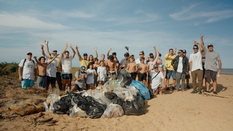
Festival de Surf e Ciência, cultura oceânica e limpeza de praia em Regência - ES
-
Expression Session #7: Fábio Sandes — longevidade e bem-estar no surf com o método surf resistência
-
Fernando de Noronha: swell refratário e altas ondas no Bode
-
Expression Session #6: Caio Freire fala sobre surf, Setiba, comunidade e o Shaka Surf Park
-
Temporada de surf em Noronha: as melhores ondas de 2026
-
Expression Session #5: Marcelo Trekinho e sua trajetória desde o Surf Adventures até o UARADEI
-
Swell de Norte em Noronha: Cacimba do Padre bombando com a galera do Surfguru
-
SURFISTA ÍTALO-BRASILEIRO DESTACA EVOLUÇÃO EM SESSÃO NOS SUPERTUBOS, EM PENICHE
-
VIDEO: Piscina de ondas em Búzios: conheça o projeto do Brasil Surfe Clube
-
Expression Session #4: Eduardo "Rato" Fernandes revela bastidores do Surf Adventures e da Urca do Minhoto

