The Surfguru Forecast Had a Technological Leap
The oceanographer André Lanfer describes the technological advance he has implemented, together with the Surfguru team, in the wave forecast of the site, which will provide forecast data for two weeks.
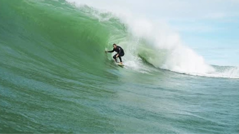
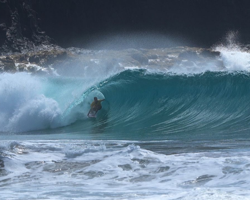
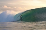
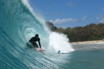
21/Jun/2018 - Surfguru - Ubatuba - São Paulo - BrasilIt was the time when we went to the beach without knowing absolutely nothing about what we would find, in relation to the waves, tides and winds. The mystique of going without knowing if we were going to find a classic sea or a miserable sea stayed behind. Today, within reach of our hands and fingers, we have access to weather forecasts and waves, with which we can schedule our trips to the sea.
The waves we see on the beach are generated by the wind somewhere. In general, the stronger the wind, the larger the area in which this wind acts and the longer that wind blows, while maintaining its characteristics, the greater the waves generated. Therefore, it is impossible to predict the waves well without foreseeing the winds.
The lower portion of the atmosphere (which is of interest to the waves) can be characterized by chaos, turbulence, its great variability and, finally, its medium and long-term unpredictability.
If the atmosphere behaves in a chaotic way, how can we predict the winds?
In order to have a good weather forecast (winds, temperature, cloud cover, rain, etc.) we need a good representation of the current moment, as well as the mechanisms that transform this current moment into the future. In other words, we need all the possible data available to compose the current scenario, such as weather stations, satellite data, radar data, ships and en route data, etc. And also mathematical models that calculate the evolution of the atmosphere over time.
Nowadays, only the large government agencies have the necessary resources to maintain such a structure, such as NOAA, ECMWF (European agency), CPTEC/INPE, etc.
Even with all the infrastructure of a large agency, there is a limit to the weather forecast. This limit occurs when the unpredictable portion of the atmosphere overlaps the predictable portion, that is, when what is occurring is no longer the fruit of the initial conditions. In short, changes in the atmosphere are no longer predictable from a certain time.
But for how long?
This time varies, but we know that the further away in the future the less realistic the forecast. The maximum limit varies from 5 to 15 days, depending on the volatility of the atmosphere. Therefore, if the weather forecast has this limit, the wave prediction also.
Wave prediction is also done using mathematical models. Wave models that describe the transfer of energy from wind to the waves, the propagation of these waves and the effects that increase or decrease the waves in deep waters and in coastal regions.
The vast majority of wave forecasting sites use wind and wave data generated by large agency models. They make graphs and tables using this data. That is, the vast majority of sites have the same data source, so the results are all the same!
Good, except potential errors in the manipulation of this data and the colors and fonts of tables and graphs.
Surfguru has recently implemented its own model of wave mathematics. The model used was the Wavewatch III model in version 4.18, the wind fields continue to come from NOAA. It was also used a mosaic of different grids and different resolutions, being the global resolution of 0.5 x 0.5 degrees and local resolutions of 0.25 x 0.25 degrees.
Having your own model, running in an operational way is a great advantage, because besides guaranteeing unique data, it makes the necessary adjustments for our coast, which is not done by the big agencies.
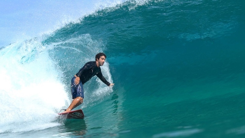
The surfguru-mounted system, in addition to improving the wave data quality presented to site users, increased the forecast limit to 15 days. Obviously, the reliability of the forecast for 15 days is less than the forecast for the next day, but the most significant events (the biggest waves) can give a sign of life 2 weeks ahead!
This is not to say that some extreme event can not happen in 5 or 10 days, but some swells can be predicted well in advance. As we know, the best prediction is the one for the current instant, so expect variations in height, direction and period as the days go by, and the event in question is approaching. This is intrinsic to waves and winds.
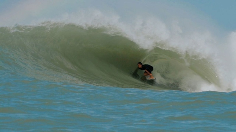
Surfguru is at the forefront of developing wave prediction for surfing by using its own model, adjusted to better represent the waves ahead.
Good waves, ALOHA
Andre Lanfer *
* Andre Lanfer is an oceanographer trained by USP, a master in geological oceanography from USP, a master's degree in Coastal Engineering from the University of Cantabria (Spain) and a doctorate in meteorology from the University of Hawaii and INPE. He is currently a researcher at CPTEC/INPE.
Read more about the new 15 day forecast here
Vídeos | Mais Vídeos
-
Diamantes Capixabas: o slab do D2 e seus tubos azuis em Vila Velha - ES
-
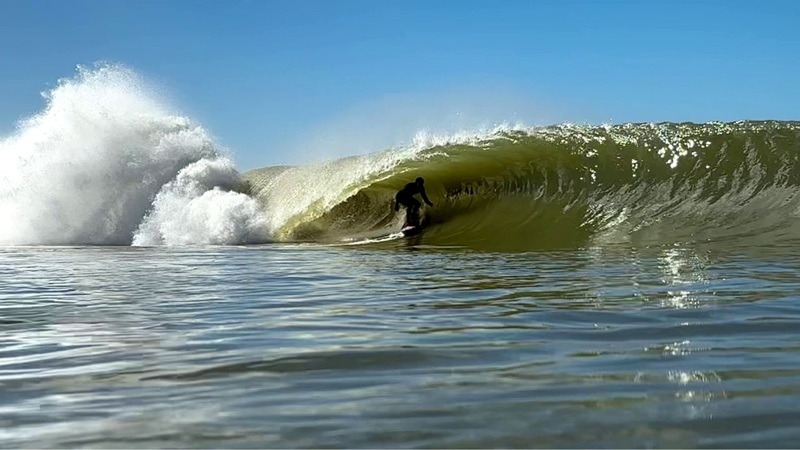
Surf trip pelo norte do ES: fundos de pedra e festival de tubos em Regência
-

Etapa da WSL em Saquarema: Yago Dora campeão em casa, muito tubo e resenha
-
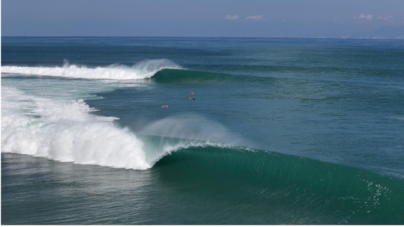
Indonésia 2026: show de tubos em Desert Point
-
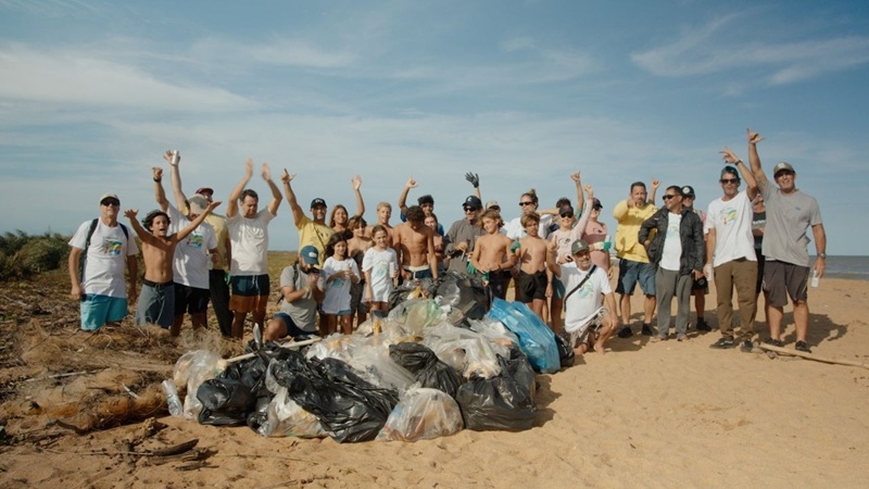
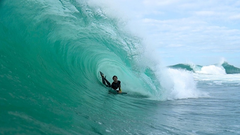
Festival de Surf e Ciência, cultura oceânica e limpeza de praia em Regência - ES
-
Expression Session #7: Fábio Sandes — longevidade e bem-estar no surf com o método surf resistência
-
Fernando de Noronha: swell refratário e altas ondas no Bode
-
Expression Session #6: Caio Freire fala sobre surf, Setiba, comunidade e o Shaka Surf Park
-
Temporada de surf em Noronha: as melhores ondas de 2026
-
Expression Session #5: Marcelo Trekinho e sua trajetória desde o Surf Adventures até o UARADEI
